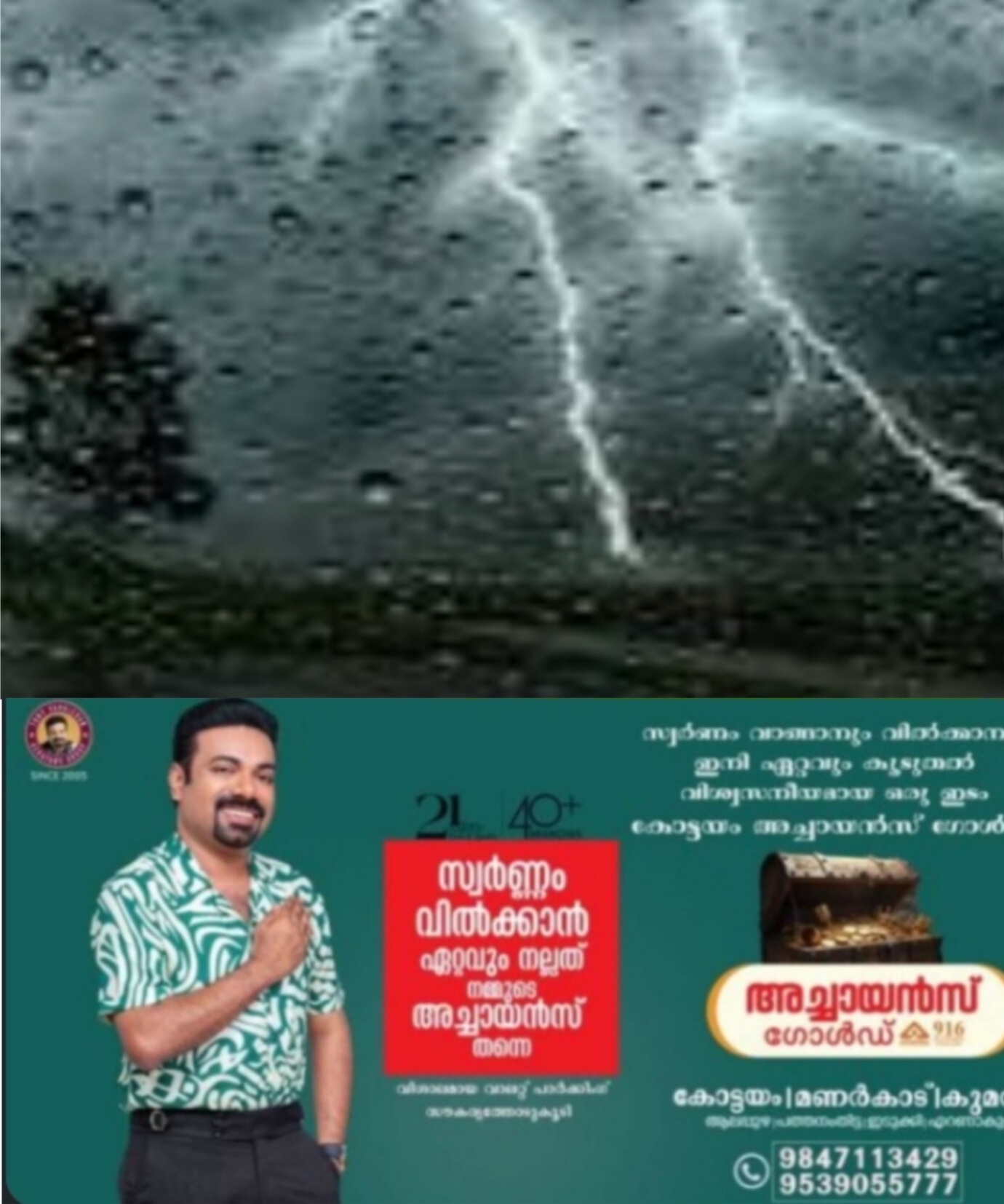

IMPACT BASED FORECAST
( *അടുത്ത മൂന്ന് മണിക്കൂറിൽ പ്രതീക്ഷിക്കാവുന്നത്*)
ഏറ്റവും പുതിയ റഡാർ ചിത്രം പ്രകാരം കേരളത്തിലെ *എറണാകുളം* ജില്ലയിൽ അടുത്ത മൂന്ന് മണിക്കൂറിൽ ഒറ്റപ്പെട്ടയിടങ്ങളിൽ ഇടി മിന്നലോട് കൂടിയ മിതമായ (15.6- 64.5 mm) മഴയ്ക്കും മണിക്കൂറിൽ 40 കിലോമീറ്റർ വരെ വേഗതയിൽ വീശിയടിച്ചേക്കാവുന്ന ശക്തമായ കാറ്റിനും സാധ്യതയെന്നു കേന്ദ്ര കാലാവസ്ഥ വകുപ്പ് അറിയിക്കുന്നു
*പ്രതീക്ഷിയ്ക്കാവുന്ന ആഘാതങ്ങൾ*
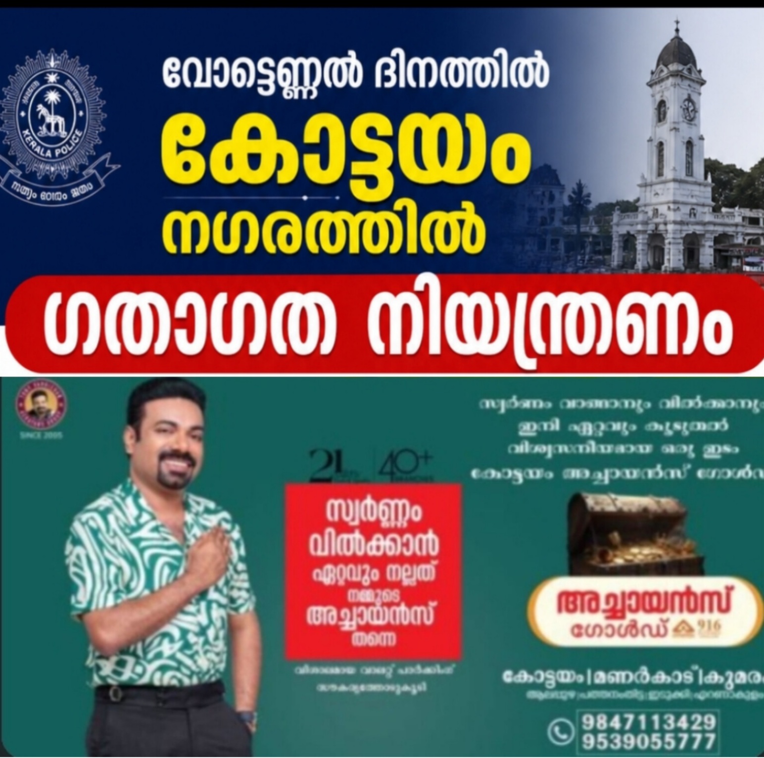
* പ്രധാന റോഡുകളിലെ വെള്ളക്കെട്ട് / വാഹനങ്ങളിലെ കാഴ്ച മങ്ങൽ എന്നിവയ്ക്ക് സാധ്യതയുള്ളതിനാൽ ഗതാഗതക്കുരുക്ക് ഉണ്ടാകാം.
*താഴ്ന്ന പ്രദേശങ്ങളിലും നദീതീരങ്ങളിലും വെള്ളക്കെട്ട് / വെള്ളപ്പൊക്കം എന്നിവയ്ക്ക് സാധ്യത.
* മരങ്ങൾ കടപുഴകി വീണാൽ വൈദ്യുതി തടസം/അപകടം എന്നിവയിലേക്ക് നയിച്ചേയ്ക്കാം.
* വീടുകൾക്കും കുടിലുകൾക്കും ഭാഗിക കേടുപാടുകൾക്ക് സാധ്യത.
* ഉരുൾപൊട്ടലിനും മണ്ണിടിച്ചിലിനും സാധ്യത.
* മഴ മനുഷ്യരെയും കന്നുകാലികളെയും പ്രതികൂലമായി ബാധിയ്ക്കാനും തീരപ്രദേശത്തെ സുരക്ഷിതമല്ലാത്ത ഘടനകൾക്കു നാശമുണ്ടാക്കാനും സാധ്യതയുണ്ട്.
*നിർദേശങ്ങൾ*
* ഗതാഗതം കാര്യക്ഷമമായി നിയന്ത്രിയ്ക്കുക
* അത്യാവശ്യമല്ലാത്ത യാത്രകൾ ഒഴിവാക്കി ആളുകൾ സുരക്ഷിത മേഖലകളിൽ തുടരുക.
----------------------------------------
*IMPACT BASED FORECAST*
( *Valid for next 3 hours*) :
As per the latest Radar Imagery, Thunderstorm accompanied with moderate spell of
rainfall with winds gusting to 40KMPH is expected in the *Ernakulam* district for next 3 hours
*IMPACTS EXPECTED*
* Water logging on major roads and poor visibility on vehicles may lead to traffic congestion.
* Water logging/flooding in many parts of low-lying areas and river banks.
* Uprooting of trees may cause damages related to the power sector.
* Partial damages to houses and huts.
* Chances of landslide and landslip.
* Rain could cause adverse impacts on humans & livestock as well as damage to loose & unsecured structures along the coastline
*ACTIONS SUGGESTED*
* Traffic may be regulated effectively
* Non-essential movements may be restricted and remain at safe places.
*10.15 PM, 24 October 2023*
*IMD-KSDMA-KSEOC*